
The sun has been shining and the birds singing…spring is in the air! We are moored up for the week so I decided this week would be for exploring the local area. This isn’t actually far from where we lived previously but I had never walked around here. I did a bit of a walk down the canal to scout out where to turn around next week and I have explored a little path that peeked my interests but those were small. I wanted a challenge for the week so I did an 8 mile round trip up to Ivinghoe Beacon and home again.

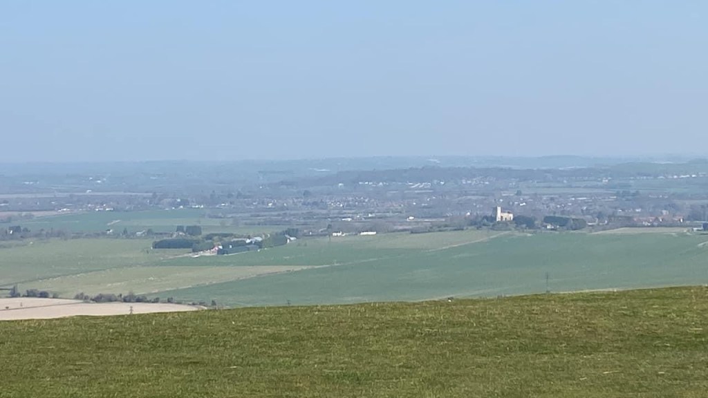
Now Ivinghoe Beacon isn’t the biggest of hills but it is one of the bigger ones in the area with an amazing view over the villages and to the next range of hills. You see beacons around England were the points where signal fires were lit to convey the message that the Spanish Armada had arrived during the reign of Elizabeth I. I can’t quite see it from the boat but I knew is wasn’t that far away either. I searched out a map to understand how to get there without actually having a map with me and then set out. The map linked above is for the Rose and Crown circular route in case you are in the area and would like to do this walk.
This isn’t the most sensible way of navigating but I didn’t have a paper map nor do I currently have OS maps on my phone (that shall be remedied on payday). I could see on the original map the general idea of the route and found another map that made it more clear. The idea was to get to the beacon via the Ridgeway. I have walked/run about 30 miles of the Ridgeway on the other end so catching the last mile on the this end seemed fitting. Note that neither the Ridgeway or the beacon are low so I had some climbing to do.
After walking up through Ivinghoe I made my way to a path that directed to the Ridgeway and beacon. It was immediately heading gently up hill though the incline got less gentle as I went. I do hope in the future to be able to build up my hill walking so this all feels minor but for now it was a push.
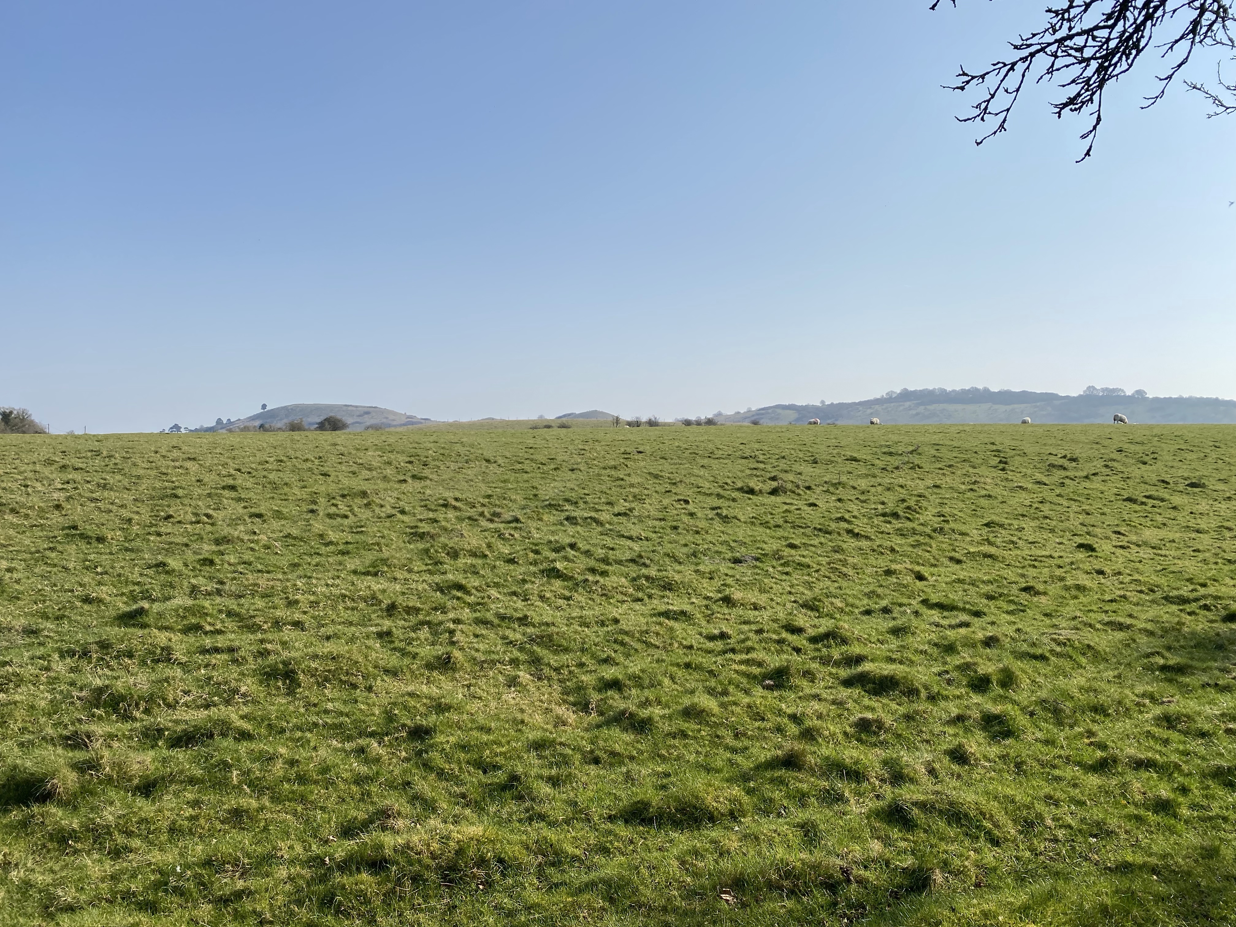
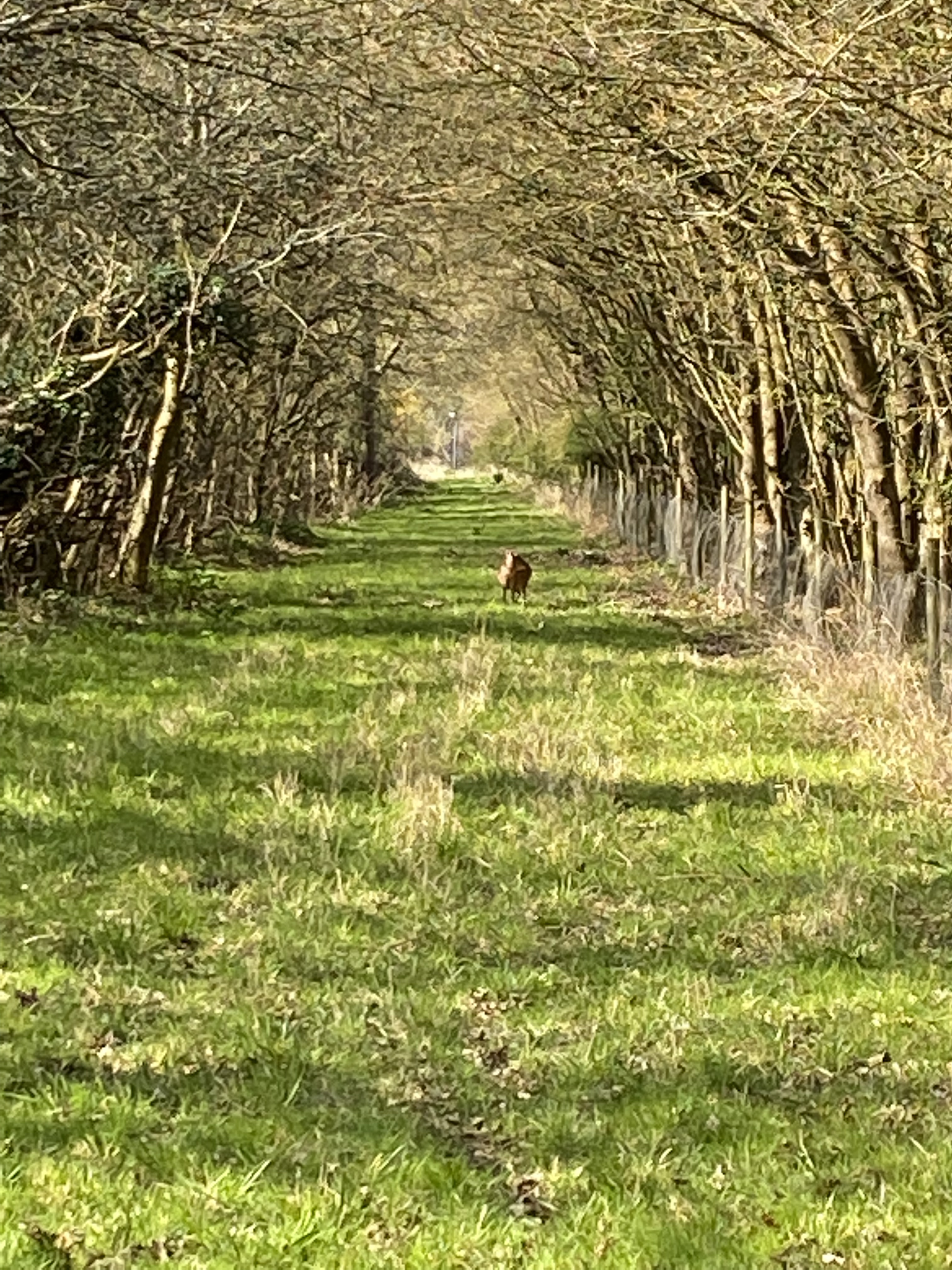
My path was fenced on both sides with a field of sheep on my left. I walked up to an open field and saw on the footpath sign which way to go though no more mention of my destinations. I confidently headed on up through the field until I could see more field but no exit to the footpath. I got a bit less confident but I pushed on while also taking a few pictures along the way. Sadly, the pictures do not do justice for the size of the hills around me.
I could see some animal pens and farm evidence in the distance but still no exit to the field. I could see fence and trees but until I was almost next to the empty pens I couldn’t see the gate. When I finally spotted the gate I felt relieved as I had feared I was wondering across randomly. At the gate was a map! Hooray! I consulted the map as best I could and confirmed I needed to pretty much just keep heading straight forward to meet the Ridgeway.
As I approached the Ridgeway I spotted a couple of men on the path so my confidence perked back up that I was definitely on the right path. I reached the Ridgeway and turned left onto the last mile. I did my best to keep an eye on the men in front of me as I know sometimes the correct path isn’t the most obvious and you can wonder by accident. I was almost up the hill before the beacon when I lost sight of the men. As I reached the top I found three path options without signs. I took the middle which was very nice and got me where I wanted to go however it was not the Ridgeway at that point. As I got to the other side of the hill and almost to Beacon Hill I met back up to the Ridgeway. So I walked most of the last mile of it.


Down to the road and across to the entrance to Ivinghoe Beacon. After all the uphill of the last hill you could be forgiven for the heartbreak that is the steepness to the top of Beacon Hill. I don’t need my hands for scrambling but I do take a couple of breath breathers before I make it to the top. Now I have been to the top of Beacon Hill before and told you all about it so the thrill of reaching the top was not the same as a first time but it was special because it was a first time on my own.


I am not a confident explorer. I am terrified of getting lost. I am scared of doing new things. I am not really one to believe in my ability to do harder physical things. The thing is though that I needed to do something different. I needed to challenge myself even though it scared me. I know I can be brave as bravery isn’t about not being scared but about overcoming the fear enough to do the thing. I feel brave for doing this hike.
The way home was also a bit of a challenge. I couldn’t see from where I was how to get down from the beacon to the path I needed on the road below me. I looked about a bit but I missed the path as there was a group of people in that area and I hadn’t wanted to bother them. I decided to head back to the road and walk down to the main road where my next path was across the street. As I got to the main road I was able to see my intended path to the left of the top of the Beacon as you look out over the fields below. Oh well…a path for next time perhaps.
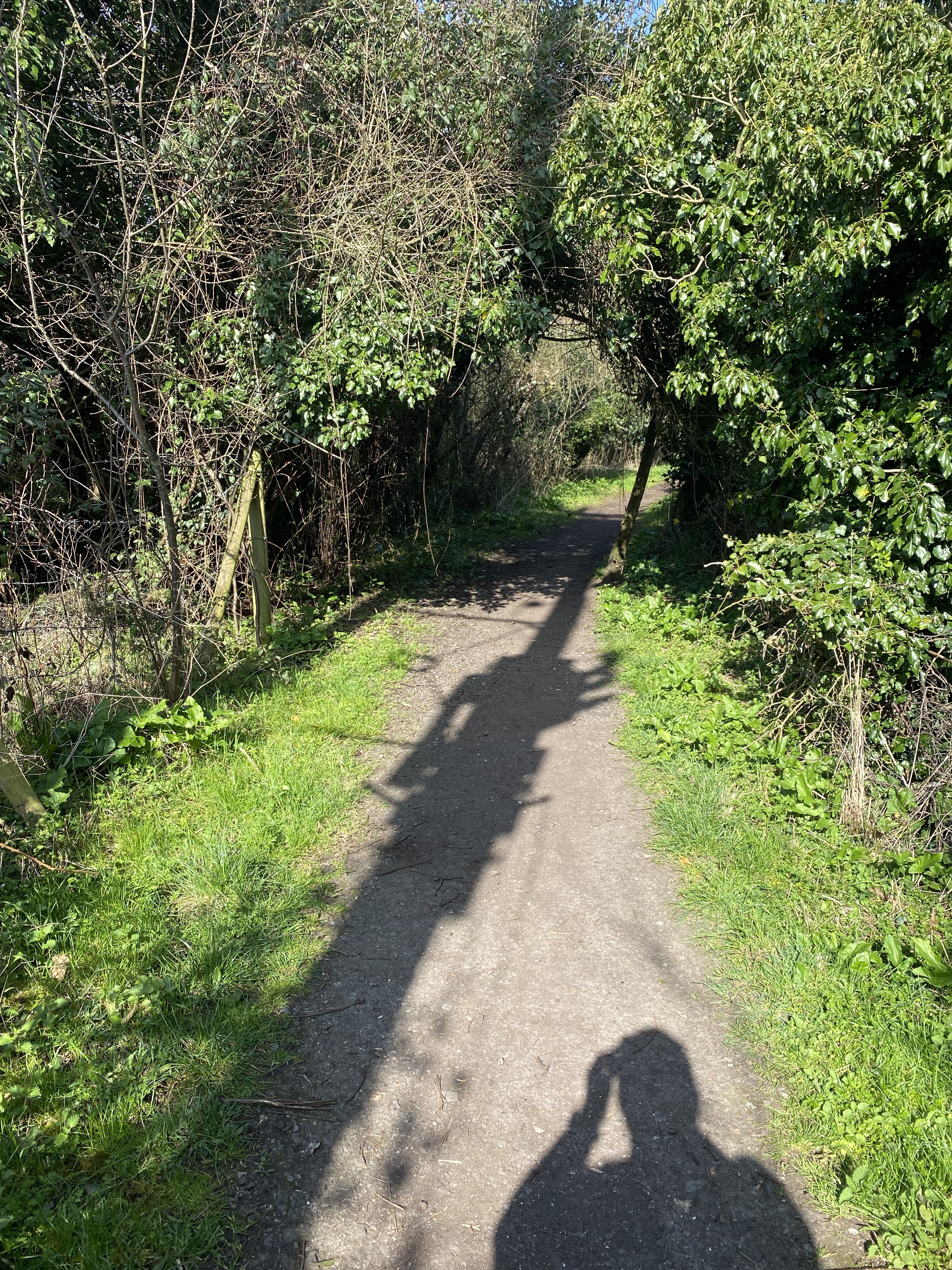
I crossed the road and followed a path across toward a strange grey field. The path was marked as the Two Ridges Way so I figured I was good. I got across the first field to the fence line of the odd grey field and found I had to turn right and walk along the fence line for a while. This meant I had in fact found the correct path from the map I had seen the night before. Feeling a bit of a superstar at that point. I got to the end of the field where it takes you down next to the road to just outside Ivinghoe Astin before a left turn onto a path that leads straight back into Ivinghoe near the Rose and Crown pub.


Now you might be wondering if the canal goes through Ivinghoe itself but it does not. Where we are moored is near to Cooks Wharf which is between Pitstone and Cheddington. One can walk from there to Ivinghoe by going over the hump canal bridge then left under the train bridge before going straight up to a roundabout and left into Pitstone and than Ivinghoe. I did find another option on another day though. Go north on the canal to the swing bridge and cross over. Follow the footpath up to the road. This road is the one that goes to the roundabout where you turn left and allows you to avoid the hump bridge with no footpath and the single lane train bridge again with no footpath. Safer and much nicer.
By the time I reached home my total mileage was 13.7km (8.4 miles). My steps were over 20,000. My floors came in at 62. My legs were exhausted, my feet hurt, and my hands swollen but I was proud of myself. So I guess my message this week is to do something that scares you a bit….live a little. Hope everyone out there is having a lovely start to spring.

